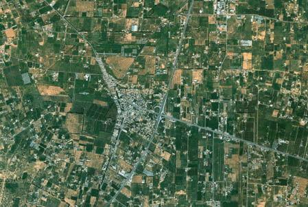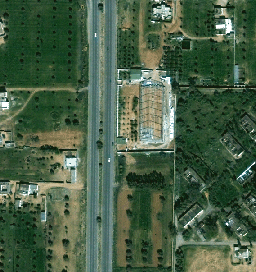


Mapping Solutions
Maps are indispensable for the planning, economic development and security of a country, providing the spatial reference of every object or feature on Earth’s surface.
“Who or what is where” is a core information, as in times of accurate position information
derived from navigation satellite systems in real-
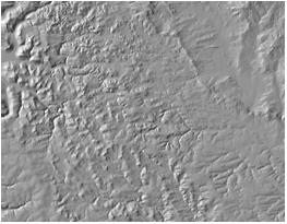
In Digital Maps, the basis for navigation, communication and control systems, every image point is strictly correlated to a coordinate including also height through the use of Digital Elevation Models.
Modern maps have to cope with the rapidly changing conditions of the Earth’s surface, therefore imagery from orbiting remote sensing satellites are an ideal basis.
Together with our expert-
- Digital Maps
- Digital Image Maps
- Thematic Maps
- Topographic Data
- 3D-
Maps and 3D- Virtual Realities - Digital Elevation Data
- Change Detection