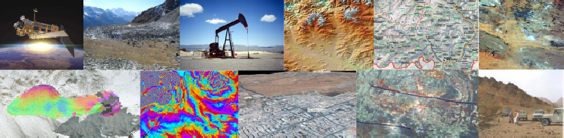


GIS (click here) & Remote Sensing Products and Services (click here)
Thematic and topographic mapping, GIS, innovative solutions for tasks in natural resources exploration, hazard classification and digital mapping based on satellite data are our cornerstones to guarantee effectiveness and customer satisfaction.
Mapping (click here)
Effective elaboration and updating of planning maps, object-
Ground Motions & Subsidence (click here)
Time series of radar satellite data for detecting reliably ground deformations, occurring
in the course of e.g. groundwater pumping, oil-
3D-
Presentation of the terrain in perspective views, as interactively to operate fly-