© Teledata GeoConsult 2008


International Expertise
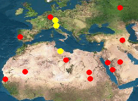
- Land and Infrastructure Information System of Riyadh Al Khabra and Dokhnah Area, Qassim Region, Kingdom of Saudi Arabia
- High-
resolution Satellite Data & Production of Digital Elevation Model & Maps of Larger Tripoli Area, Great Socialist People’s Libyan Arab Jamahiriya - Change Detection & Mapping of Railway Infrastructures Using High Resolution Satellite Data and GIS, Germany
- Al Khufra Shabiyat, Libya: Planning of Antenna locations for Trunked Radio Network
- Study of the Environmental Impact and Paesagistic Recovery of the Chainça Limestone Exploitation Area, Portugal
- Geomorphologic, Land-
use and Water Resources Mapping by Remote Sensing and Field Methods in the Northwest of Saudi Arabia - Synoptic Tectonic Evaluation of the Serra d’Aire Limestone Massive, Rio Maior, Portugal
- Urban Mapping in the Kingdom of Saudi Arabia: Jeddah, At’Taif, Al Madinah Al Munawwarrah
- Geologic & Tectonic Mapping of the Region around Jeddah, At’Taif and Al Madinah Al Munawwarrah, Kingdom of Saudi Arabia
- Assessment of the Portuguese Civil Construction Market for Introducing Satellite Remote & GIS into their Operational Work
- Evaluation of a Satellite Receiving Station in Novosibirsk, West Siberia, Russia for Receiving International Earth Observation Satellites
- Business and Implementation Plan for the Dual Use of Unmanned Aerial Vehicles – UAV