
© Teledata GeoConsult 2008


What is the Measurement Principle of DiffSAR or DInSAR?
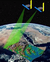
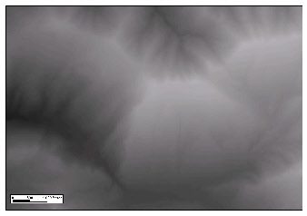
The radar satellite observes the same area repetitively within a few days, weeks, or months.
When combining 2 images, height differences of the Earth cause interferences.
Radar uses wavelengths of some centimeters to some decimeters. The accuracy reaches the wavelength of the signal and fractions of it.
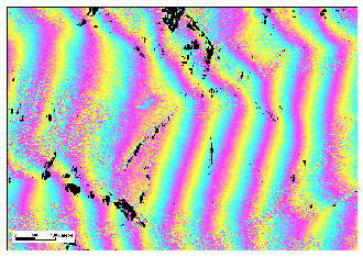
The fringe diagram reflects the surface geometry.
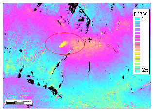
After subtracting the geometry from the interferogram the areas affected by ground motions appear and can be measured.